






Navigating Singapore’s PCN: The Best Routes for PMD and PAB Users
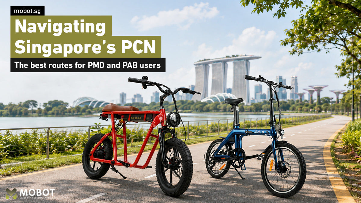
Singapore’s Park Connector Network, commonly known as the PCN, connects parks, neighbourhoods, waterfront areas and recreational destinations across the island. For Personal Mobility Device and Power-Assisted Bicycle users, it provides a convenient way to explore Singapore while staying away from busy roads.
Whether you are looking for a relaxing coastal journey, a nature-focused ride or a longer route across different parts of Singapore, the PCN offers many options for riders of different experience levels.
This guide introduces some of the best PCN routes for PMD and PAB users. Each route includes a map preview so you can better understand the surrounding connections before setting off. Riders should always check the path markings and official maps before starting their journey.

Important: The map previews in this guide are for general route planning. Open the official LTA cycling map or NParks PCN map before riding to check the latest path connections, closures and diversions.

East Coast Park Connector
Best for: Beginners, families and scenic coastal rides
East Coast Park is one of Singapore’s most recognisable recreational destinations and remains a popular choice for both casual and experienced riders.
The long coastal stretch offers relatively flat terrain, sea views and numerous convenient rest points. Riders can travel past Marine Cove, Bedok Jetty, East Coast Lagoon Food Village and several other attractions located throughout the park.
The route also connects towards Marina Barrage and Marina Bay, allowing riders to extend their journey into central Singapore. This makes it suitable for both short recreational outings and longer rides.
East Coast Park can become crowded during weekends, public holidays and evenings. Riders should slow down around playgrounds, food centres, barbecue areas and pedestrian crossings.
East Coast Park Route Map
Route highlights
- Marine Cove
- Bedok Jetty
- East Coast Lagoon Food Village
- Coastal scenery
- Connection towards Marina Barrage
Punggol Waterway and Coney Island
Best for: Nature lovers and waterfront scenery
The Punggol area offers one of the most scenic PCN experiences in northeastern Singapore.
Riders can travel beside Punggol Waterway, cross Lorong Halus Bridge and explore the paths around Coney Island and Serangoon Reservoir. The route features a mixture of waterfront views, greenery, mangroves and quieter recreational areas.
It is a good option for riders who prefer nature-focused routes instead of busy urban surroundings. The combination of water views and green spaces also makes it a popular location for photography and weekend outings.
Some parts of the route may have limited shelter. Riders should prepare for direct sunlight and changing weather conditions, especially when travelling around Coney Island.
Punggol Waterway and Coney Island Route Map
Route highlights
- Punggol Waterway Park
- Lorong Halus Bridge
- Coney Island
- Serangoon Reservoir
- Waterfront and nature views
Marina Bay Waterfront Route
Best for: City scenery and evening rides
The Marina Bay waterfront is ideal for riders who enjoy modern architecture, city views and some of Singapore’s most recognisable landmarks.
Depending on the selected route, riders may pass Marina Bay Sands, Gardens by the Bay, Marina Barrage, the Singapore Flyer and the Esplanade.
The route is particularly attractive during the evening when the skyline and waterfront attractions are illuminated. There are also numerous places to stop for food, drinks and photographs.
Marina Bay can become crowded during weekends, public holidays, festivals and major events. Riders should be prepared to slow down or dismount in congested areas.
Marina Bay Waterfront Route Map
Route highlights
- Marina Bay Sands
- Gardens by the Bay
- Marina Barrage
- Singapore Flyer
- Esplanade
Bishan–Ang Mo Kio Park Connector
Best for: Relaxed neighbourhood rides
Bishan–Ang Mo Kio Park provides a spacious recreational environment surrounded by greenery, waterways and neighbourhood facilities.
The route follows sections of the Kallang River and connects riders to different parts of Bishan and Ang Mo Kio. It is suitable for shorter recreational rides, evening journeys and outings with family members.
There are several resting areas, playgrounds, food options and sheltered facilities around the park. Its central location also makes it more accessible for riders who do not want to travel to Singapore’s coastal areas.
As the park is popular with families, joggers and dog walkers, riders should maintain a low speed and give pedestrians sufficient space.
Bishan–Ang Mo Kio Park Route Map
Route highlights
- Bishan–Ang Mo Kio Park
- Kallang River
- Neighbourhood connections
- Resting and dining areas
- Family-friendly surroundings
Jurong Lake Gardens Connector
Best for: Riders in western Singapore
Jurong Lake Gardens offers a scenic lakeside route for riders living in or visiting western Singapore.
The paths around Lakeside Garden and Chinese Garden provide a relaxing environment with waterfront views, landscaped gardens and open recreational spaces.
The relatively flat surroundings make the area suitable for casual rides. Riders can stop at the gardens to rest, take photographs or explore nearby attractions.
Some connections around the wider Jurong area may require riders to travel across different cycling or shared paths. Check the official maps carefully before planning a longer journey.
Jurong Lake Gardens Route Map
Route highlights
- Lakeside Garden
- Chinese Garden
- Jurong Lake
- Open recreational spaces
- Lakeside scenery
Ulu Pandan Park Connector
Best for: Longer recreational rides
Ulu Pandan Park Connector follows the canal and provides access to several residential areas in western and central Singapore.
The route is popular with cyclists and active mobility users because it offers long stretches away from regular road traffic. Depending on the selected connection, riders may continue towards Clementi, Commonwealth, Alexandra and the Singapore River.
This route is more suitable for riders who are comfortable travelling longer distances and navigating between different path connections.
Some sections may be affected by construction, temporary closures or diversions. Riders should always check the latest map information before starting their journey.
Ulu Pandan Park Connector Map
Route highlights
- Ulu Pandan Canal
- Clementi connections
- Commonwealth connections
- Alexandra connections
- Long uninterrupted stretches
Round Island Route
Best for: Experienced and long-distance riders
The Round Island Route is an island-wide recreational corridor designed to connect parks, coastal areas, neighbourhoods and park connectors.
Instead of completing the entire journey in one trip, riders can explore selected sections based on their experience, available time and battery capacity.
The route provides opportunities to discover different areas of Singapore, including coastal destinations, nature spaces and neighbourhood attractions.
Long-distance riders should plan carefully. Check the estimated distance, battery level, charging needs, weather forecast and available rest points before setting off.
Not every section may be equally suitable for all PMDs or PABs. Use the official maps to confirm the path types available along your selected journey.
Round Island Route Map
Route highlights
- Long-distance recreational journeys
- Coastal and nature areas
- Connections between multiple park connectors
- Different route sections to explore
- Island-wide riding experience
Which PCN Route Should You Choose?
The best route depends on the type of riding experience you are looking for, your location and the distance you are comfortable travelling.
 Best coastal rideEast Coast Park ConnectorFor coastal views and an easier recreational journey, East Coast Park is one of the best places to begin.
 Best nature ridePunggol Waterway and Coney IslandFor nature and quieter waterfront surroundings, consider Punggol Waterway and Coney Island.
 Best evening rideMarina Bay WaterfrontFor city scenery and evening photographs, Marina Bay provides some of Singapore’s most impressive views.
 Best family routeBishan–Ang Mo Kio ParkRiders in central Singapore may prefer Bishan–Ang Mo Kio Park for a relaxed neighbourhood route.
 Best route in the westJurong Lake GardensRiders in the west can explore Jurong Lake Gardens or continue towards Ulu Pandan Park Connector.
 Best longer journeyUlu Pandan or Round Island RouteExperienced riders looking for a longer journey can plan selected sections of the Round Island Route.
Before Riding on Singapore's Park Connector Network (PCN)
Before exploring Singapore's Park Connector Network (PCN), make sure your PMD or PAB complies with Singapore's active mobility regulations and that you understand where it can be ridden.
PABs and PMDs must be LTA-approved and display a valid registration number plate.

Before setting off:
- Check the official LTA Cycling Map and PCN routes
- Plan a route suitable for your device
- Check your battery level and the weather
- Look out for temporary closures or diversions
While riding, keep left, slow down near pedestrians, use your bell before overtaking, and always follow PCN signs and path markings.
With proper planning and responsible riding, you can safely enjoy Singapore's parks, waterfronts and neighbourhoods through the Park Connector Network.




Leave a comment
This site is protected by hCaptcha and the hCaptcha Privacy Policy and Terms of Service apply.